When I first heard about OpenStreetMap (OSM) – the so called Wikipedia of maps, built by volunteers around the world – I was skeptical of its ability to scale, usability in decision making, and ultimate longevity among new ideas conceived in the digital age. Years later, having working on many disaster risk management initiatives across the globe, I can say that I am a passionate advocate for the power of this community. And I continue to be struck by the power of one small initiative like OSM that brings together people across cultures and countries to save lives. It is more than a technology or a dataset, it’s a global community of individuals committed to making a difference.
People may be surprised to find that the maps we take for granted in metropolitan areas of the developed world may be completely absent, vastly out of date, or pay-per-view in the developing world. Imagine an urban area without a transportation network, government agencies without access to the location of their assets (schools, health facilities, etc), or even a map without village names. This is the reality for many of the countries most vulnerable to disaster risk. Now, imagine this urban area facing an unprecedented crisis brought by flooding, an earthquake, a pandemic – think about the challenges of planning a response.
Having worked in many countries to quantify the potential impact of disasters and climate change, I was well aware of the challenges of data unavailability. However, the way to overcome these data gaps was by using traditional surveying methods and digitizing data, all through formal government systems. Although this approach ultimately worked, it took a huge amount of time, resources, and ultimately did not engage beyond government systems.
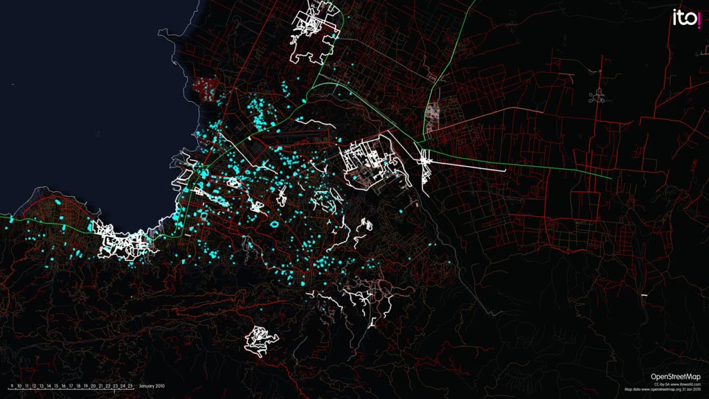
In parallel, the Global Facility for Disaster Reduction and Recovery (GFDRR) and the World Bank, with partners including the Humanitarian OpenStreetMap Team (HOT), U.S. State Department, USAID, and Red Cross/Red Crescent, have been testing a new and innovative approach to overcome the same challenge. In the response to the 2010 Haiti earthquake, volunteers in Haiti and internationally came together to produce the first free, open and accurate map of Port-au-Prince – in three weeks! The results in Haiti demonstrated that OSM and volunteer mappers would continue to be a powerful force in creating valuable map data.

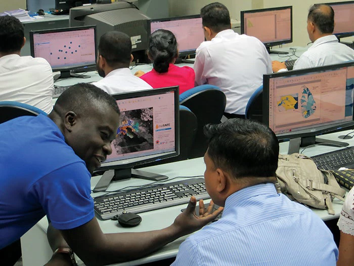
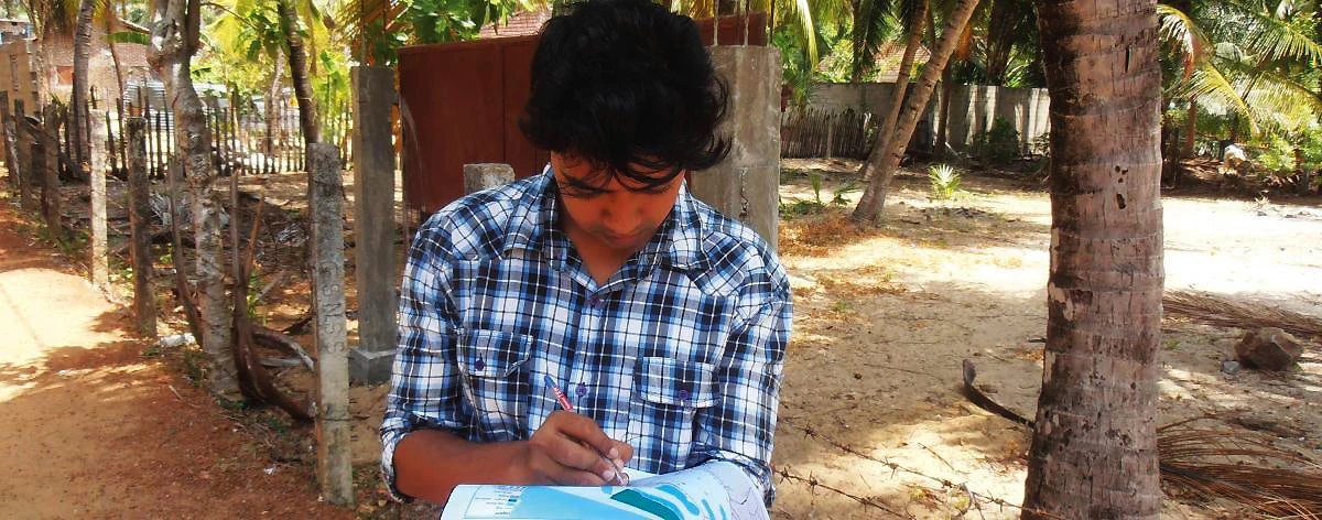
Since 2012, I have seen this approach expanded to Indonesia, the Philippines, Sri Lanka, Bangladesh, Nepal, Malawi and many other countries under GFDRR’s Open Data for Resilience Initiative (OpenDRI) and Open Cities Project. Through these projects, university students, volunteers and government officials in affected countries have been trained to use OpenStreetMap to map their own cities. Collecting the needed data is not just mapping location, but also considers buildings (private, educational, health, business) including characteristics of their construction to understand their vulnerability to hazards. Other helpful attributes include road networks, village names, boundaries, and so much more. These maps and the datasets are being used to build resilience and preparedness to climate change and disasters, inform investment in risk reduction, and to recover and reconstruct after disasters.
This is a story of success in its own right. But, for me, the mobilization of people to create a social change is what makes it extraordinary. When Typhoon Haiyan (also known as Yolanda) struck the Philippines in 2013, 1,670 volunteers from 82 countries made 4.5 million edits to maps of the affected areas within one month. This effort included 33 volunteers from Nepal and 12 volunteers from Haiti – volunteers who had already seen the benefit of this approach in their own country, or who in the case of the Nepalese volunteers, unfortunately, soon would.
When the West Africa Ebola crisis struck, the lack of fundamental maps hampered an early response – imagine trying to determine who had come in contact with a sick individual and where contact had occurred when there was no map of village names. Again, the global volunteer community mobilized, and by November 2014 more 12 million map edits had been made by 2,586 volunteers.

Many of these volunteers face great challenges within their own country, city, or community and yet they cared to contribute as global citizens in reducing the suffering of others affected by crisis. While you might not have the power to prevent a disaster or give funds to a response effort, you can give your time, your intellect, and your generosity via a computer and the Internet to make a difference. This is an example of “paying it forward” in a digital age.
If you would like to pay it forward, consider contributing your effort to these projects where OSM data will be used by governments to understand and manage the risk from disasters and climate change or to plan recovery and reconstruction. GFDRR is currently working on a seismic risk assessment in the Kyrgyz Republic that is mapping buildings in key cities. A mapping task is also planned during the Understanding Risk and Finance conference in Ethiopia in November to support flood risk analysis in Malawi. And OSM mapping tasks supporting risk analyses in Madagascar, Sri Lanka, and Comoros will also be published in coming months.


Join the Conversation