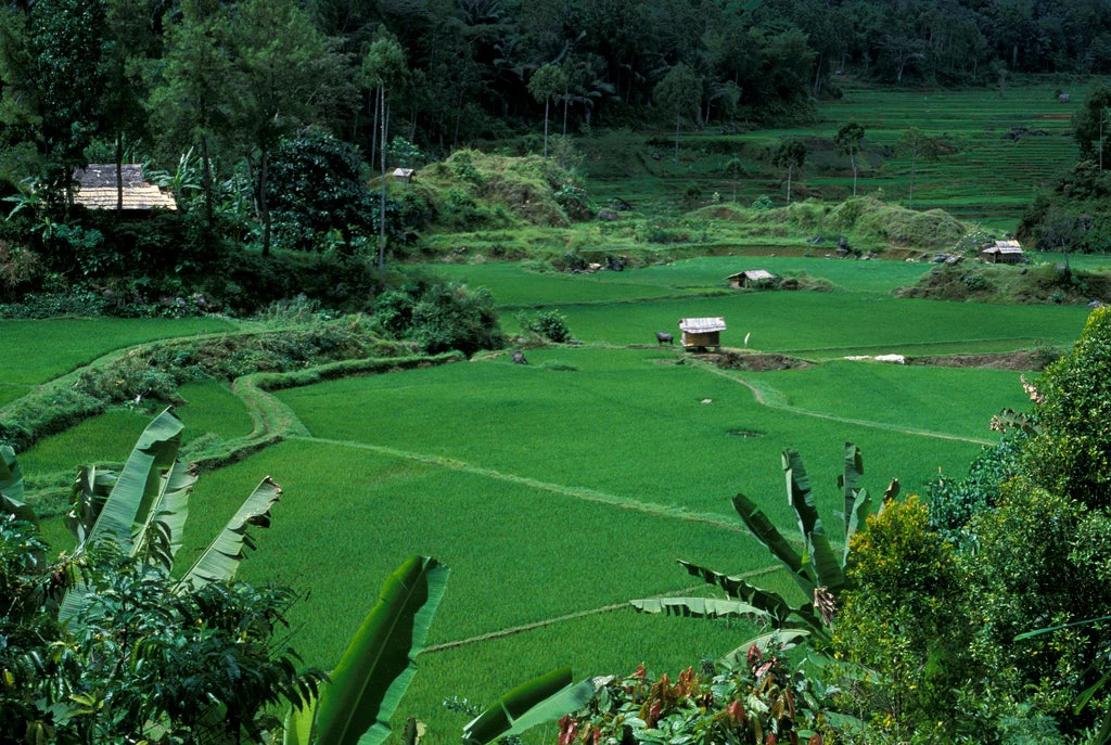
The primary forests have long gone from the surroundings of Teluk Bakung village on the outskirts of Pontianak, the capital of Indonesia’s West Kalimantan province. This was evident when I arrived in the region in late November 2016, as part of a field visit. We saw how most villagers have abandoned the difficult peatlands agriculture to work on large oil palm plantations and their own oil palm fields. Others have opted to invest in lucrative edible bird nest production. But they do so against a backdrop of confusing land-use management: forest estate and administrative boundary demarcation is incomplete, and community interest groups and authorities debate over the historical allocation of plantation concessions. Public data sets show a wide variety of land and forest uses in the area, including reserves. But in reality, virtually all of the land is increasingly being devoted to oil palm production.
The “One Map” approach to land management
The situation we found in West Kalimantan illustrates the urgency of the issue: the unsustainable use of land and natural resources causes environmental degradation and contributes to persistent rural poverty. Sustainable natural resource use, in itself, is hugely complex and practically impossible without clarity on land use, access rights, and licenses. To address the issue, the World Bank supports the Indonesian government through the Sustainable Landscapes Program, which aims to improve lowland management (including peatlands restoration) and build forest fire management capacity, identify ways to reduce competition over land and territory, and increase optimization of land and resource use.
A foundational part of this effort is to establish consistent, accurate, and public maps and land information through the government’s One Map Policy (OMP). Its premise comprises the consolidation of geospatial data on land use into a single base map, which will help improve the governance of Indonesia’s natural resources. The effort requires reforms in regulatory frameworks, standards, formats, and data-sharing policies at the national, state, and community levels. Building capacity of implementing agencies is also important.
Challenges and opportunities for sustainable land management
- In Indonesia, lands are managed under a dual system. The Ministry of Environment and Forestry is responsible for the Forest Estate, while the Ministry of Agrarian and Spatial Planning manages the non-forest land. With less than 15% of the Forest Estate boundaries demarcated, land users and law enforcers alike grapple with overlapping licenses and land claims.
- Indonesia is among the world’s ten worst emitters of greenhouse gases (GHGs), two-thirds of which come from land use change. Fires, which have traditionally been used to clear land for agriculture, are increasingly used to illegally convert forest land to agricultural use, at a high cost to the economy—a World Bank study estimates the 2015 forest fires cost Indonesia about 2% of its annual GDP, or almost twice the amount the country spent on reconstruction after the Aceh tsunami. They also generated daily GHG emissions that exceeded the totals for all of the European Union.
- The issue is complicated in regards to the land rights of indigenous adat communities. They mostly reside within the Forest Estate, and practice various types of communal and customary ways of owning and tending land. While legally possible, many of the poor living in the forest areas are traditional adat communities, whose claims to those lands are largely unrecognized. With a 20% poverty rate (compared to the 11% national average), forest communities remain among the poorest in Indonesia.
- Although the OMP enjoys universal support among government agencies and development partners, the One Map compilation rate remains limited. It is impeded by incoherent and overlapping data. One major challenge is the scale of the required action (Indonesia has some 75,000 villages). But among the most vital keys to success is field verification. The government’s current OMP methodology aims to produce 1:50,000 scale maps based on over 80 thematic datasets, with limited or no ground verification. Global experience shows that this approach may prove challenging. To ensure accuracy and data legitimacy, the World Bank supports the government’s effort to develop new participatory fieldwork and a community verification process for producing local One Maps based on the actual situation on the ground.

Join the Conversation