Massive flooding from storm surges is a major threat to lives and property in low-lying coastal areas during cyclones. Recent examples of devastating cyclone-induced storm surges include Haiyan 2013 (5.2m or 17 feet), Aila 2009 (4m/13ft), Ike 2008 (4.5m-6m/15-20 feet), Nargis 2008 (more than 3m/10ft), Sidr 2007 (4m /13ft), Katrina 2005 (7.6m-8.5m/25-28 feet). The impacts are particularly disastrous when storm surges strike densely populated coastal areas.
Mangrove forests can reduce vulnerability of adjacent coastal lands from storm surges by slowing the flow of water, but too little use is made of this natural buffer
Mangroves, by obstructing the flow of water with their roots/husks and leaves, can reduce the vulnerability of adjacent coastal lands from storm surges. Although the potential utility of mangroves in disaster risk reduction is increasingly recognized by coastal managers, efficient use of this ecosystem-based protection is often hindered by scarcity of location-specific information on the protective capacity of mangroves. The extent of protection from mangroves depends on the width of forest, forest density, diameter of stems and roots of trees along with forest floor shape, bathymetry, spectral characteristics of waves and the tidal stage at which waves enter the forest.
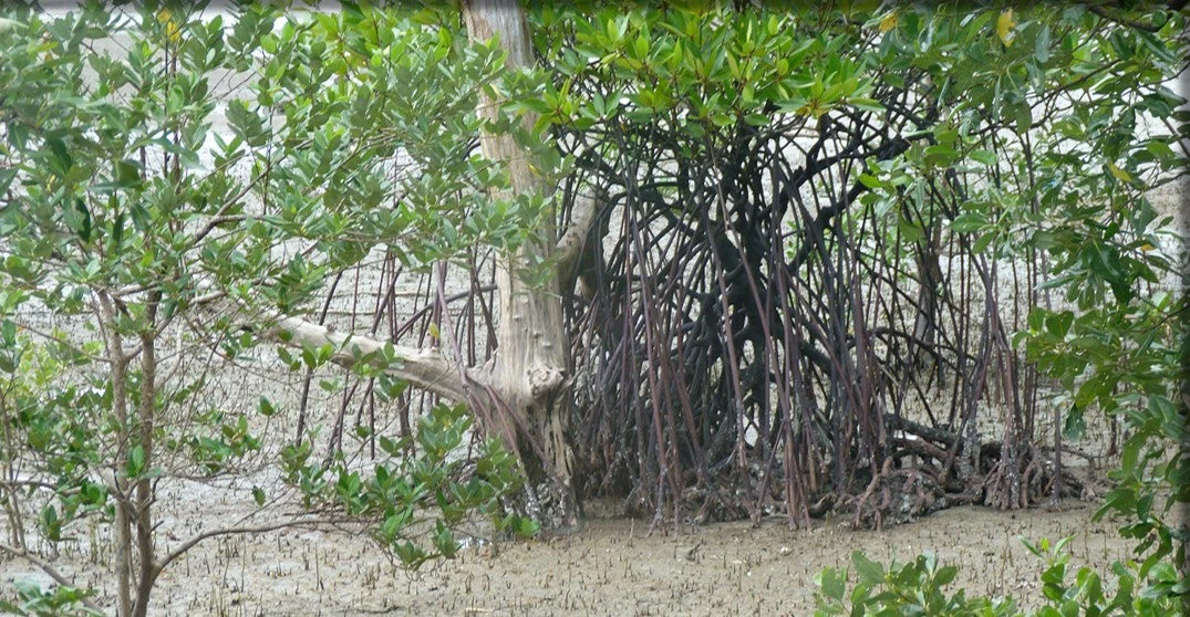
Mangroves found in southwest coastal Bangladesh
World Bank research findings help quantify the protection from mangroves for Bangladesh-the country most vulnerable to tropical cyclones in the world
Mainul Huq from Development Policy Group in Bangladesh and I worked with experts from the Institute of Water Modeling in Bangladesh to quantify the protective capacity of mangroves. We worked in seven coastal locations of Bangladesh, using hydrological models to replicate cyclone Sidr which made landfall in Bangladesh in 2007. We estimated surge height and water flow velocity without mangroves, and then derived estimates using different widths of forests composed of various mangrove species under different densities of planting.
Our estimates indicate varying levels of protection from various species of mangroves, and different width and density of mangrove forests, across the seven locations. The mangrove species that provided the greatest protection in our analysis (Sonneratia apetala) reduced the surge height from 4cm to 16.5cm with 50m to 2km wide mangrove strips, and reduced the water flow velocity from 29% to 92% with 50m or 100m wide mangrove forests. Our findings also highlight that the range of protection is location-specific.
Protection by mangrove forests is most useful in combination with built infrastructure
Since surge heights in densely-populated, cyclone-prone Bangladesh can range from 1.5m to 9m, mangroves must be used with built infrastructure, such as embankments. However, even the modest reduction in surge height from mangroves means that embankments with mangroves in the foreshore areas can be lower in height as compared to the ones without mangroves, leading to considerably lower construction costs. The significant reduction in water flow velocity from planting mangroves in front of an embankment will also reduce maintenance costs. Consequently, the benefits and costs of mangrove planting should be considered early in the process of designing new embankments.
For more information about coastal protection provided by mangroves in the current climate as well as in a future climate scenario, please see here.
The original working paper is available here.

Join the Conversation