during training session in Maputo Special Reserve. Photo by
Davi Moreira, World Bank M&E Specialist
What kind of information do you need to assess progress of community projects that aim to improve livelihoods and biodiversity conservation in remote Conservation Areas in Mozambique? More importantly, how do you efficiently collect this type of data and guarantee the level of consistency and quality needed to make strategic improvements in project implementation?
These are the questions our team faced during our recently concluded Mid-Term Review (MTR) of the World Bank Conservation Areas Development Project (Mozbio)[1]. We learned that there was not more time to wait and by applying the free World Bank-designed Computer Assisted Personal Interviewing (CAPI) Platform Survey Solutions, we could improve data collection and get the Project’s monitoring and evaluation back on track.
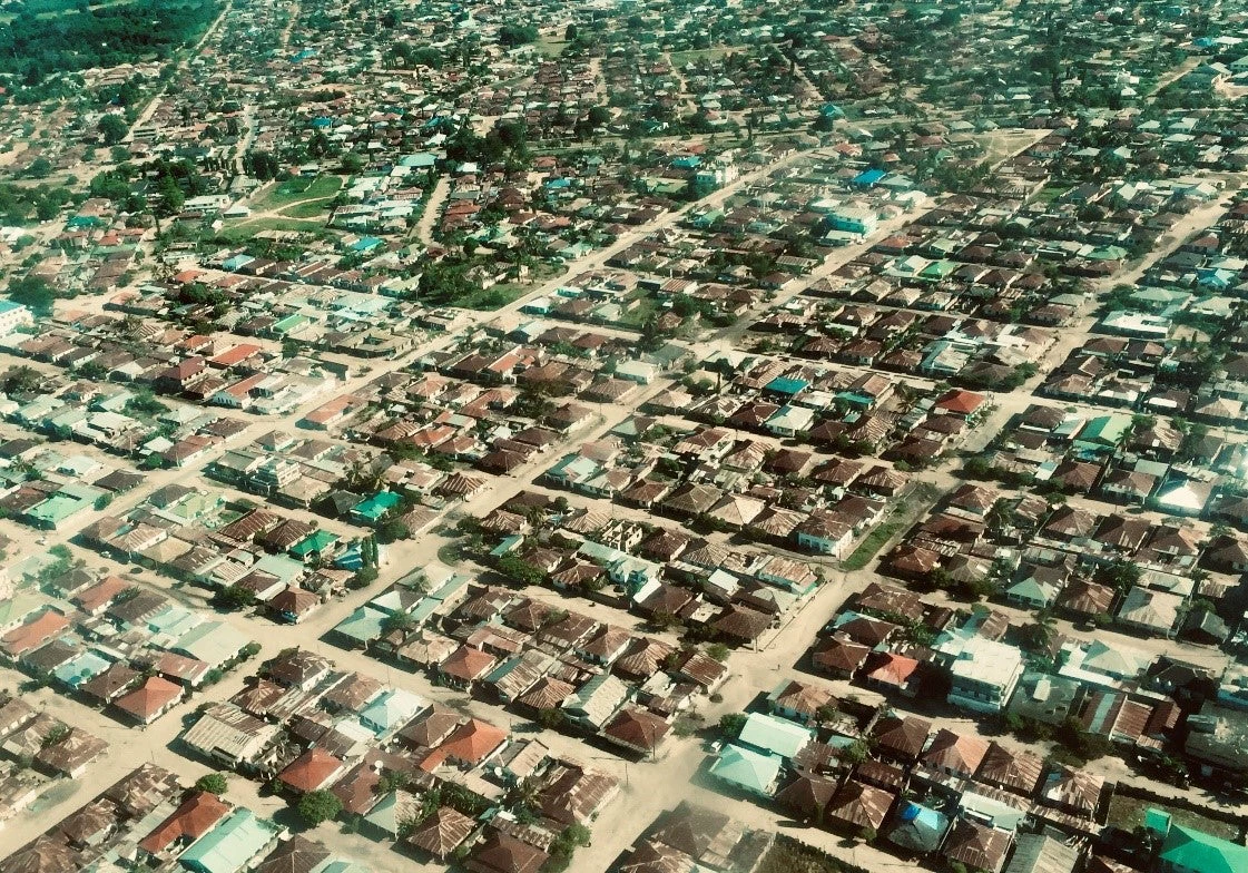
The 5-year Mozbio project addresses some of the most pressing challenges to Conservation Areas (CAs) in Mozambique, which covers 25% of the country. Besides strengthening the legal and institutional framework for conservation and promoting nature-based tourism and infrastructure facilities, the cornerstone of the project is to improve livelihood alternatives to local communities that live in and around the CAs. These populations constitute some of Mozambique’s poorest and most vulnerable households. To address this, Mozbio finances small-scale community projects that equip communities with tools to sustainably manage natural resources, engage them in income generating activities and increase their contribution to biodiversity conservation.
Measuring progress of these activities has been one of the Project’s greatest challenges. In the two first years of implementation, the Project Team had difficulty in accessing data and systematically collecting information on the key indicators, which include the number of people (broken down by gender) involved in sub-projects, the number of jobs created in tourism and conservation in targeted areas, local communities’ perception of benefits from CAs, income derived from tourism and wildlife utilization and return to communities. The local circumstances of these remote areas, such as high levels of poverty and a lack of relevant infrastructure, communication and transport modalities, hampered efforts even further.
Luckily, the past months have proven that it’s never too late to face this challenge. After months of planning, the Bank is implementing an intense training program for the Project’s M&E team and Community Development Officers from six CAs[2], building their capacity to develop and carry out interviews under Survey Solutions. Due to its flexibility to design questionnaires that can draw the most pertinent lessons from complex target audience and its offline applicability and virtual data collection process, Survey Solution is a low cost and efficient tool to overcome some of the most challenging obstacles to collect data from local communities.
The forms that have been designed follow an innovative format – using pictures and cascade questions that facilitates for communities to complete the survey and for the team to get more detailed insights into what specific aspects of the project are working as intended, and which not, and how they can possibly be improved. The following four levels are being assessed and at complementing times throughout project implementation:
- CA-level data outlines key aspects such as population, main challenges and management aspects of the CA and its surroundings;
- CA Community-level data compiles information on communities within and around CAs, including their prevalent practices in use of natural resources, access to basic services, infrastructure, it main problems and local organizational structures;
- Project beneficiary-level data outlines features of sub-projects under implementation, including leadership and membership nature of the community-based organizations leading implementation as well as key data on projects and its expected outcomes/deliverables and beneficiaries;
- Household-level data includes information on livelihoods and natural resource use from a sample of households who are direct beneficiaries of a community project, allowing to capture changes in the perception towards conservation, as a result of the adoption of new practices
The information from four different levels also allows for a greater understanding of the bigger landscape where the CA is situated, allowing to understand and potentially address external factors that affect the project. The approach to see the CA as an integral part of a larger landscape is in line with the World Bank’s integrated portfolio on Environment and Natural Resources that complement the Mozbio project in Mozambique[3]. I would even go as far as hoping that Survey Solution can be a cost-effective way for us to truly improve our knowledge on problems that transcend boundaries of our Bank projects and help us combine and integrate solutions.
As we are wrapping up the intense training program, it becomes clear that the Bank is building capacity of the Government that allows them to independently conduct this monitoring approach in the future in their own and efficient manner. As we look forward to rolling out the surveys in October, I also hope that we will get one step closer to answer the questions posed in the beginning, and to also achieve desired project outcomes.

Join the Conversation