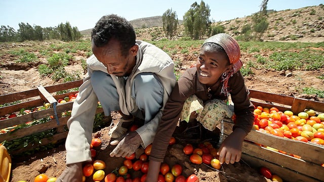
Farming can be precarious. This is especially true if you are poor and living in an area susceptible to climate shocks. In sub-Saharan Africa[1], with approximately 1 billion inhabitants, agriculture still accounts for roughly 64% of employment. Moreover, more than 95% of its arable land relies solely on rainfall, without the luxury of irrigation[2]. As a result, climate shocks such as drought frequently cause crop loss and livestock death across the continent, sending large parts of the population into turmoil. A changing climate is expected to make the situation worse.
But what if we could monitor agricultural production from space, predict yields, and act immediately after or even before natural disasters strike? What if we could empower farmers with social protection and insurance mechanisms triggered early by the observed conditions of their crops? Thanks to technological developments, these ideas are becoming reality. If successful, they could have a huge impact on improving food security in sub-Saharan African countries.
One of these technologies, remote sensing, and how it can contribute to the financial protection of farmers, will be highlighted at the upcoming Understanding Risk and Finance (URf) conference, which will take place November 17-20, 2015 in Addis Ababa.
The natural hazards impacting agricultural production the most in sub-Saharan Africa are hydro-meteorological hazards: floods and droughts. Many African countries typical react to floods and droughts after the event has happened by providing aid through provision of food, cash, or replenishing livestock for farmers. Such post-disaster responses tend to be slow, expensive, and foster a culture of dependency. In addition, this cyclical pattern of dependence is often financed by the international community rather than the country affected.
By using satellite information and data collected on the ground, focus is shifting from reacting to disasters after they occur (“ex post”), to pre-planning the response (“ex ante”). This vastly speeds up the response, as satellites provide an immediate first impression of the situation without conducting a lengthy needs assessment. As soon as the satellite picks up a drought, response measures can be launched, bringing help rapidly to those who need it most.
Such early response mechanisms are often agricultural insurance schemes where agricultural producers purchase an insurance policy for themselves or the government purchases a policy on their behalf. Once the satellite data indicates that an agreed threshold is reached (e.g. a specific degree of modeled crop loss), an insurance payout is made to the insured. Increasingly, social safety nets are also used. For example, the Ethiopian “Productive Safety Net Program”, which in normal times is a regular cash-transfer for poor households, scaled up from 6.5 to 9.6 million beneficiaries within two months after the 2011 drought using satellite-based technology to quickly pre-evaluate the drought situation.
Satellites collect plenty of data that can be used for indicating the need for action. For example, indices such as soil moisture content, precipitation, vegetation health and others can be monitored. When collected over a long enough time period, the data can be used in models to forecast crop yields and conditions of grassland over a season.
For example, in the Index-Based Livestock Insurance program developed in Northern Kenya, satellites measure the “greenness” of ground vegetation. Based on that, a prediction can be made how much pasture is available for grazing livestock. If, in case of a drought, the satellite indicates that only little pasture is left, pastoralist policyholders are eligible for an insurance payout which they can use to protect their cattle.
Another example lies in the micro-agricultural insurance scheme ‘SUM Africa’ based in Mali and Uganda which uses data of the satellite METEOSAT. Specifically, the program looks at historical data to predict crop yields of smallholder crop farmers. If predicted crop yields drop below a certain level, the farmers who bought an insurance policy receive a payout. This allows farmers access to financial assistance much earlier and more reliably than if they had to wait for lengthy damage assessments and an uncertain humanitarian intervention by the government.
URf, organized jointly by the World Bank Group, the Global Facility for Disaster Reduction and Recovery (GFDRR), the European Union and the Africa Union Commission (AUC) and other partners, will offer the ideal environment to showcase lessons learnt from such experiences. It will foster collaboration between the thought leadership of African nations most effected by such natural disasters. Ultimately, the goal of the conference will be to serve as a platform dedicated to cultivating actionable discussions on how to scale up social protection schemes and index based insurance. As a result, the bar has been set high for all emerge from such an opportunity with clarity and optimism in their ability to plan, protect and thrive with heightened financial security.
References and Useful Links
G4AW General Site:
G4AW Mali
Index Based Livestock Insurance (IBLI):
IFAD WRM Project
Kenya PSNP - LEAP


Join the Conversation