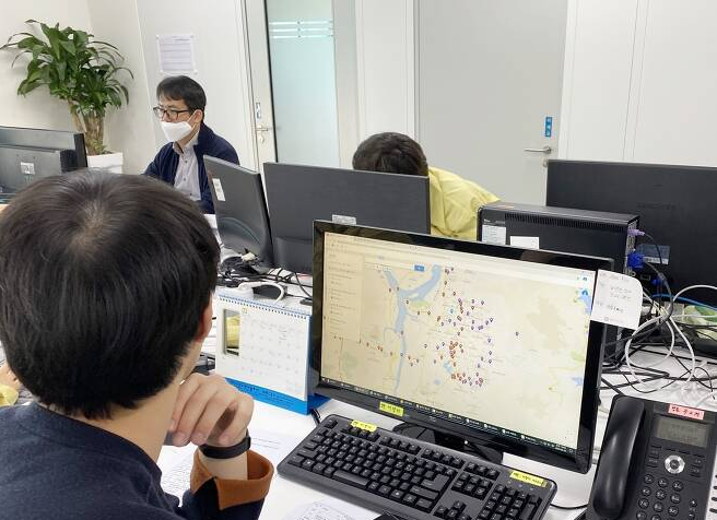
 and pharmacies with available face masks (yellow icons) in Korea - a practical example of geospatial-based COVID-19 response. (Image: Government of Korea)") Map of confirmed COVID-19 cases (blue icons) and pharmacies with available face masks (yellow icons) in Korea - a practical example of geospatial-based COVID-19 response. (Image: Government of Korea)
Map of confirmed COVID-19 cases (blue icons) and pharmacies with available face masks (yellow icons) in Korea - a practical example of geospatial-based COVID-19 response. (Image: Government of Korea)
As the COVID-19 pandemic unfolds, authorities are relying on measures that are inherently spatial in nature: quarantining, contact tracing, and social distancing. With citizens working and studying at home, decision makers are navigating the pressures of needing to prevent infection, while also looking to eventually relax restrictions and reopen the economy.
In Asia, managing epidemiological outbreaks is not new. The SARS and MERS outbreaks triggered health infrastructure and protocol improvements for identifying sick individuals and tracing who they came into contact with. Identifying the exact location of sick people, tracing their movements, and isolating them minimizes the need to impose mobility restrictions or business closures.
As a result of their experiences, a number of governments in East Asia and Pacific have invested in geospatial information and systems that are now critical to COVID-19 responses. In the Republic of Korea, data from GPS tracking of phones and cars, credit card transactions, travel histories, and CCTV footage have been analyzed to identify high-priority cases and track infected individuals. In Singapore, smartphone apps track close contacts through Bluetooth technology, and are leveraging big data. China uses a mobile QR code that signifies an individual’s health status and level of risk for infection.
As governments work to reopen economies, they will rely increasingly on granular location information. To detect and extinguish new hotspots, public health officials will need to know the location of homes, the route people take to work, and the parks they visit. This raises concerns about privacy, post-crisis data use, and whether data is ever truly anonymous. However, data aggregation, voluntary enrollment, and cryptography can be used to comply with legal frameworks for data protection. Moreover, techniques such as anonymized location pings and Bluetooth contact tracing protect individual locations. There’s clearly a need for developing privacy protocols and regulatory support in this rapidly evolving area.
Korea benefited from a strong legal and regulatory framework that enabled integration of spatial data. At a central level, the Korean National Spatial Data Infrastructure Portal ensured collaboration among the Ministry of Land, Infrastructure and Transport; the Ministry of Information and Communication; the Korea Centers for Disease Control and Prevention; the National Police Agency; telecommunication companies; and 22 credit card vendors. By interlinking databases, they combined national health insurance information, immigration, and customs databases to identify potential disease areas and notify the public – if your neighbor tested positive, you were alerted via SMS within 24 hours. Korea also developed the Epidemiological Investigation Support System to streamline time-consuming procedures, such as letter exchanges and authorizations, and updated maps for tracking are released every hour.
What can other countries learn from Korea? The importance of a strong geospatial data infrastructure and an open platform cannot be overstated. While apps and advanced algorithms are valuable, a key to the country’s success was its strong geospatial information framework, which enabled innovative applications over a patchwork of open data.
What can the World Bank do to help? In 2019, the United Nations and the World Bank launched the Integrated Geospatial Information Framework (IGIF), which provides a guide for nations to develop their geospatial infrastructure and services. The Bank supports IGIF implementation to help build countries’ resilience against the next pandemic. In Mongolia, IGIF work with the national mapping and cadastre agency is looking at options for sharing health and emergency response information among institutions. In Indonesia, the government has launched a new COVID-19 tracking app and has made progress with unified land registry and geospatial information.
A virus-resilient economy requires knowing exactly where infected people are, living conditions, and access to medical services – all of which hinges on geospatial information. Investments in mobile maps and machine-learning thrive from joint geospatial information frameworks and data, along with a clear privacy protocol. As governments reel to respond to the pandemic and prepare for future crises, systems that can transform millions of location points into actionable knowledge remain key to informing our geospatial infrastructure in the battle against the novel coronavirus and beyond.


Join the Conversation