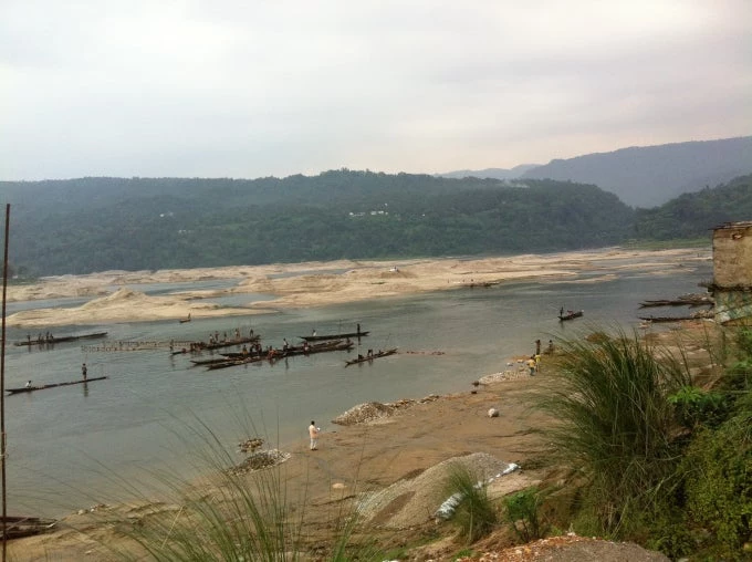
Being from Kolkata, I have always been used to floods. Prolonged flooding typically meant schools and offices closed, traffic jams and a much-needed respite from the tropical summer heat. However, it was during a field visit to the flood prone northeastern border of Bangladesh, where rivers from India flow downstream into Bangladesh, that I fully appreciated the importance of disaster early warning systems and regional collaboration in saving lives, property, enabling communities to evacuate and prepare for extreme weather events.
Disaster early warning systems, along with other information services based on weather, water and climate data (sometimes known as “hydromet” or “climate services”) play a key role in disaster preparedness and improving the productivity and performance of climate sensitive sectors such as agriculture. Along with investments in resilient infrastructure, risk financing strategies and capacity building measures, they are a key part of a toolkit for strengthening disaster and climate resilience. Research shows that for every dollar spent on disaster early warning systems, the benefits range from $2-10. In South Asia, these are particularly important given the region’s extreme vulnerability to climate risks and staggering socio-economic costs arising from extreme weather events.
Responding to requests from partner countries in South Asia, about five years ago, we initiated a regional program with the objective of strengthening government capacity to develop and deliver such services. The program included both targeted technical assistance and investments. At present, several projects such as in Nepal, Bhutan and Bangladesh are under implementation and others are under preparation. The program has also attracted significant funds from partners, including the European Union - South Asia Capacity Building for Disaster Risk Management Program. DFID also recently announced a major new partnership with the World Bank and UK Met Office to scale up this work.
Why is a regional approach needed?
When we started consultations with governments and stakeholders in the region, what became clear were the regional interdependencies between countries in terms of weather and climate. Cyclones, monsoons and severe thunderstorms are transboundary and best understood at a regional level. Moreover, there is a demand for national level meteorological data from regional centers for forecasting transboundary weather phenomenon (such as cyclones and thunderstorms) and a demand for regional forecasts by national weather agencies. Regional collaboration can strengthen such exchange. There are also various economies of scale in regional collaboration in developing hydromet services. But regional collaboration can also be rife with political economy issues, including data sharing between countries, and hence hard to operationalize.
What did we do?

Second, we strengthened our engagement with National Weather Service Agencies. In some countries, such as in Bangladesh, it was the first time the World Bank and its National Weather Service, known as the Bangladesh Meteorological Department, were working together to strengthen the agency’s capacity for improving weather forecasting and climate services.
Third, instead of focusing on regional level discussions on data-sharing, which can be sensitive, the projects focus on service delivery. Each of the operations set up collaborations between National Weather Agencies and agencies such as departments of water, agriculture and aviation, and thus are inherently multi-sectoral. How communities can use hydromet information services to strengthen resilience is made center stage.
Where are we now?
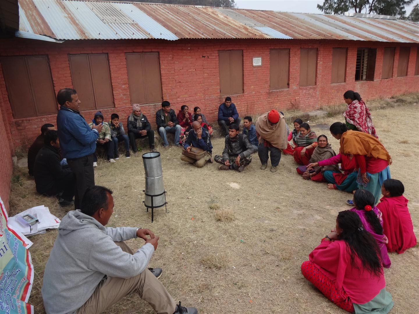
Though the hard work of implementing and scaling up these operations is underway, some results are already visible. For instance, in Nepal, farmers in all 25 target districts are receiving agro-advisory bulletins that are helping inform farm level decision-making. Moreover, in coordination with the World Meteorological Organization and with support from the Global Facility for Disaster Reduction and Recovery and other partners, a regional forum is being planned later this year. The idea is to build on national level engagements and identify concrete areas for regional collaboration. This is still unfinished business, but in South Asia it is getting to be a serious business!


Join the Conversation