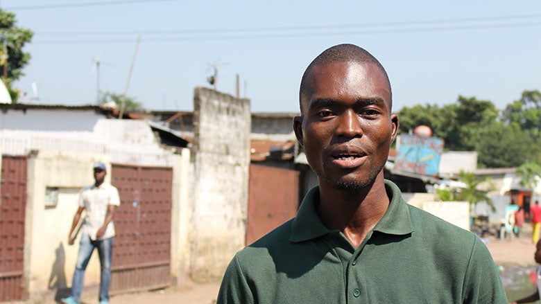
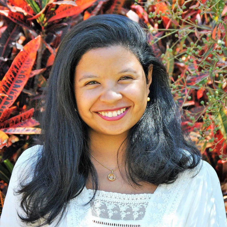
 Christ Mboungou, cartographe local du quartier Moukoundzi-Ngouaka confie qu’il souhaite utiliser les compétences qu’il a acquises dans l’initiative Open Cities pour cartographier les risques climatiques dans son quartier et développer des infrastructures plus résilientes.
As you walk around Brazzaville, Republic of Congo, chances are that you will notice dapper-looking gentlemen and ladies in stylish and colorful attire. Striding through the streets of the capital city with pride, they are known as the Sapeurs. The presence of these Sapeurs showcasing their style might seem stark in contrast to their environment, which is often of infrastructure with low-quality social services in comparison. Putting looks and prestige before other needs may raise eyebrows, but the Sapeurs’ passion to distinguish themselves only clearly represents the lively and colorful aspirations of many people in the city, despite their unfortunate living conditions.
Community participation is key to sustainably upgrading informal settlements
To improve the urban environment for aspiring communities living in informal settlements in Brazzaville, the World Bank-financed Congo Urban Development and Poor Neighborhood Upgrading project (DURQuaP) has put the communities themselves at the forefront of decision making. To give communities a sense of worth and belonging, the project set up local development committees in target neighborhoods. Over 300 people—half of them women— were selected on a voluntary basis and received trainings on dynamics and leadership change to help them voice their needs, participate in community planning and implementation, and help strengthen community ownership.
Upgrading informal settings through community mapping
To mitigate adverse effects of flood risk – a daily threat in Brazzaville’s poor urban settlements – engaging communities and valuing the knowledge of their own space is critical. Brazzaville, together with 11 other African cities, is taking part in the Africa Open Cities Initiative to engage local government, civil society, and the private sector to develop data needed to meet urban resilience challenges. This initiative feeds into the participatory approach that shapes the project’s design and complements DURQuaP efforts by helping communities take the lead in making their neighborhoods safer. The Open Cities teams have been working hand and hand with communities and technical leaders to get a better sense of their perception of risks, collect, analyze and map risk-related data to update the Open Street Map (OSM) database.
In Brazzaville, the methodology includes exploratory walks around neighborhoods and focus groups with residents who share their perception of the risks in their neighborhoods and living spaces. Interestingly, the exercise not only values and formalizes the knowledge of the community in their own territory, but also allows to differentiate the perception of risks by gender and generation, offering a wider span of data. The qualitative information gathered is then combined with quantitative data that is collected, also in a participatory manner. The project has also teamed up with the city of Brazzaville to integrate existing geospatial data on the neighborhoods and to make them available in Open Street Map. The data from community maps will directly inform the neighborhood upgrading plans that the DURQuaP project will finance, bolstering physical investments.
Building human capital and bringing innovation to poor urban neighborhoods through data collection
Community mapping activities have been critical to creating new skills for neighborhood residents. In this light, students from the Université Marien Ngouabi receive targeted training, technical support, and mentorship to compile open spatial data related to natural hazards and develop tools for stakeholders to utilize risk information. This empowerment of youth is expected to foster new vocations in cartography and urban planning – and promote the emergence of a more environmentally conscious generation of young Congolese. Additionally, innovative tools such as satellite and drone imagery provided up-to-date geographic data on the environment.
Less climate risk, more resources to improve lives
Through the neighborhood-focused approach, the project will impact the lives of people at a granular level by mitigating the climate risk they face today and – by extension, at a macroeconomic level – will contribute to the goal of reducing poverty and increasing the welfare of the poorest in society. The aim must be fewer losses and therefore more opportunities and resources the residents of Brazzaville can mobilize for their own benefit. Less avoidable risk to worry about will help everybody, not only the Sapeurs, focus on the more enterprising aspects of life. Yet, one thing is certain: the Sapeurs will use this opportunity the most creatively…
Open Cities Africa is financed by the EU-funded ACP-EU Africa Disaster Risk Financing Program, and the implementation of the resilience-related activities within the DURQuaP is supported by the ACP-EU Natural Disaster Risk Reduction Program, both managed by the Global Facility for Disaster Reduction and Recovery. More information on the ACP-EU NDRR Program and the support it provides to the Republic of Congo can be found here.
RELATED


Join the Conversation