 Historical City of Jakarta from space. It shows region of West Jakarta, Indonesia. / Photo: Shutterstock
International development faces numerous and constantly evolving data challenges. Whenever we see progress in the field, new data introduces both potential solutions and problems for integration with existing information and workflows. Geospatial technology has offered many potential solutions related to extracting data from satellite imagery, collecting and disseminating open, volunteered geographic data, and making everything available through open data portals. However, putting all these data to practical use in our clients’ operations continues to prove challenging.
This was the subject of a workshop at the Organization for Economic Cooperation and Development (OECD) in Paris on January 24th, 2025. The recent explosion in the availability of public building footprints derived from satellite imagery has the potential to revolutionize how public institutions collect, process, and use geospatial microdata. Traditional data from statistical registers, cadastral systems, and other administrative sources from the public sector are now complemented by a multitude of alternative sources generated by private sector companies from satellite imagery, sensor technologies and modeling methods. Highly detailed data has also been contributed as volunteered geographic information under open licenses and is being increasingly included in humanitarian activities, complementing official data repositories.
 In-person participants at the OECD workshop on building micro-data.
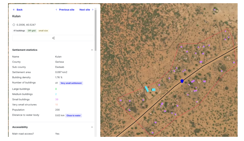
Building footprints represent a foundational piece of microdata that is useful in many aspects of governmental intervention. Potential applications using building footprints include:
Mapping and analyzing exposure to climate change (e.g. sea level rise and storm surge)
Understanding the impacts of disasters with higher resolution; also planning for disaster response (e.g. disaster risk profiles).
Improving the planning and implementation of household survey and census operations.
Understanding the impacts of urban growth for the planning provisions of infrastructure, housing, and other public goods.
Identifying the impact of the built environment on habitat loss, environmental degradation, and biodiversity decline to inform strategies for fostering a livable planet.
Energy planning, including both energy efficiency retrofits to support the energy transition, and electrification planning.
 Example of how building footprints are used in energy planning. This example is from an online planning tool to evaluate mini-grid potential.
With offerings from governments, open-source community projects, pro bono datasets from tech giants, and commercial vendors, it is difficult to evaluate the products and decide which one works best for a specific context. In many cases, a single data source is not sufficient, and it must be combined with multiple inputs to create a comprehensive repository. This was a regular point of discussion at the workshop, and the consensus was that government data is consistently the best source of information: it is more accurate, has more complete/comprehensive information, and usually comes with a clear mandate and procedures for updating and maintaining. However, even when working with official, preferred government data, there is still much work to do to conflate building geospatial and microdata from disparate sources, despite clear governance around data generation and dissemination. Colleagues from both the European Union and StatsCanada detailed examples of the difficulty of harmonizing disparate datasets that ostensibly fall under the same governance structure.
While there are ongoing efforts in this conflation process, through initiatives such as Overture, there is much to do in the development of standards and processes for generation and dissemination of building data.
For our client countries, many of which have yet to develop complete cadastral systems, the current situation represents an opportunity. Governments should establish a baseline database of building footprints/building registry by leveraging available open data that can be improved and maintained over time. This is the approach that both the national statistical offices (NSOs) of Uruguay and Tunisia presented. At the workshop, they presented the projects where they established a baseline national buildings dataset from publicly available sources, which was then edited and cleaned for use in official government workflows.
Now is the time to take advantage of these publicly available data, as their currency decreases and their maintenance moving forward is uncertain. The workshop committee is working on conference proceedings that will identify key goals and our strategy for achieving those. Our goal is the establishment of a Global Open Data Environment that encompasses knowledge dissemination, governance, and capacity building.
Meanwhile, the World Bank should expand its engagement with technical counterparts in client countries and take ownership of processes around data standards, knowledge products, and capacity building. Choosing the appropriate source of data for any analysis requires a deep understanding of both what is required and what is available. Similarly, while governments can collect detailed information on buildings, it is not always clear what can and should be made available publicly as we attempt to balance issues of privacy and security with our desire to create global public goods. Accurate, complete, and open building data is foundational across the development agenda, and we should focus on supporting our government counterparts to develop, analyze, and disseminate these data in the best way possible.

Join the Conversation