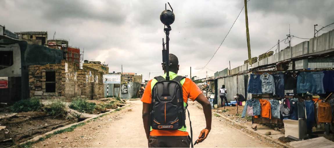
 A worker walks through his settlement with a 360-degree terrestrial camera to capture Street View images. Photo: Spatial Collective
On a weekday morning in Nairobi’s Embakasi Sokoni settlement, 30-year-old Lydiah is viewing familiar images on her smartphone of businesses, churches and schools in her community, and answering questions about their physical characteristics. Lydiah, a single mother of two, starts work around 11 am after completing her chores, and her children -- ages two and six years -- finish breakfast and start playing outside. By waiting until she can fully focus, Lydiah can do high-quality work and earn extra pay in addition to her base compensation for accuracy.
Nairobi is one of the fastest growing urban centers in Africa. Its population has increased tenfold in the past 50 years, leading to the expansion of informal settlements into areas with increasingly poor living conditions. Government leaders often lack up-to-date information to manage these urban areas effectively. Lydiah is one of many youths across three of Nairobi’s informal settlements (Embakasi Sokoni, Kahawa Soweto, and KCC) who participated in the Digital Public Works for Urban Resilience pilot launched in April 2022. This activity was designed to train youth (ages 18-35) residing in informal settlements to collect critical urban datasets that the government can use to identify high-risk populations, infrastructure priorities, and appropriate measures to increase resilience.
Through the Second Kenya Informal Settlements Improvement Project (KISIP2), the pilot supported the State Department for Housing and Urban Development to improve living conditions and provide basic services in informal settlements. It was designed by the World Bank’s Global Practice for Urban, Disaster Risk Management, Resilience and Land (GPURL) team, in partnership with the Social Protection and Jobs and Social Sustainability and Inclusion Global Practices.
This innovative activity was the first of its kind to address the need for up-to-date urban datasets and provide vulnerable and at-risk youth with opportunities to develop digital skills through a public works model that offered them a cash-for-work safety net.
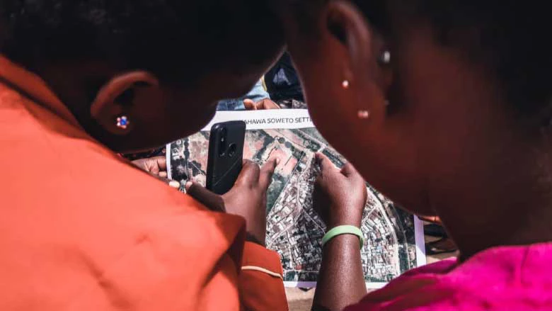
Interest in working on the Digital Public Works was very high, with over 1,000 applications for the approximately 300 available positions. Selected youth were trained for a variety of tasks to create urban datasets, including building footprint digitization, terrestrial 360-degree imagery capture, mapping points of interest, AI data validation, and conducting household surveys.
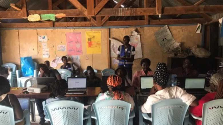
They worked in two-week cycles, with some categories of tasks lasting longer than others. In addition to their base pay, youth workers were also eligible to earn quality pay and/or overtime pay depending on the task. This earning model encouraged them to produce accurate and high-quality data, and it also enabled those in need of more money to work extra hours. The pilot set up temporary technology centers in each of the three settlements where workers could access a desktop computer, internet, and a supportive community for technical questions.
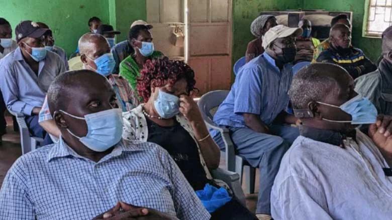
The Digital Public Works team coordinated with community leaders such as the Settlement Executive Committees to ensure local ownership of the process and results. It also prioritized a flexible work model that allowed youth to select their work hours and location. This removed several barriers to participation, and allowed workers to manage their schedules and accommodate other responsibilities such as attending university or raising children. This flexibility also promoted the inclusion of groups that are often unable to engage in traditional public works programs, such as single mothers and persons with disabilities. The youth reported enjoying the work because they could learn new skills and contribute to efforts to improve their communities, while working at their own pace and spending less time and money on commuting.
Through this activity, 282 youths, half of whom were women and 10% of whom identified as having disability limitations, performed around 1.7 million tasks across the three settlements, collectively earning over Ksh6 million ($48,000). Comprehensive GIS building layers, data allowing for the creation of maps of buildings, were collected for each of the settlements as well as approximately 6,000 Street View images. Additional geospatial and household survey information was also collected to support urban upgrading in solid waste management, socio-economic inclusion, disaster risk management, crime and violence prevention, and investment selection. All data from the pilot is available to the government through a geospatial data platform that can be used to inform neighborhood infrastructure investments.
The World Bank team includes Vivien Deparday (Senior Urban Specialist), Mira Lilian Gupta (Program Design and Evaluation Consultant), Eliana Carranza (Global Lead for Labor Markets and Skills), Sheila Kamunyori (Senior Urban Development Specialist), Guillermo Tovar Mantilla (Economist Consultant), Andrés Leonardo Parrado (Economist Consultant), Raymond Kirwa (Social Development Specialist), Yves Barthélemy (Senior Geospatial Consultant).
This pilot was made possible through support from UK’s Foreign, Commonwealth & Development Office and the Global Facility of Disaster Reduction and Recovery’s Multi-Donor Trust Fund.
Resources:
Digital Public Works blog post by Spatial Collective
Screens over shovels: Using digital technology to modernize public works
Digital Works for Urban Resilience: Supporting African Youth
Digital public works – a viable policy option for the COVID-19 jobs crisis?






Join the Conversation