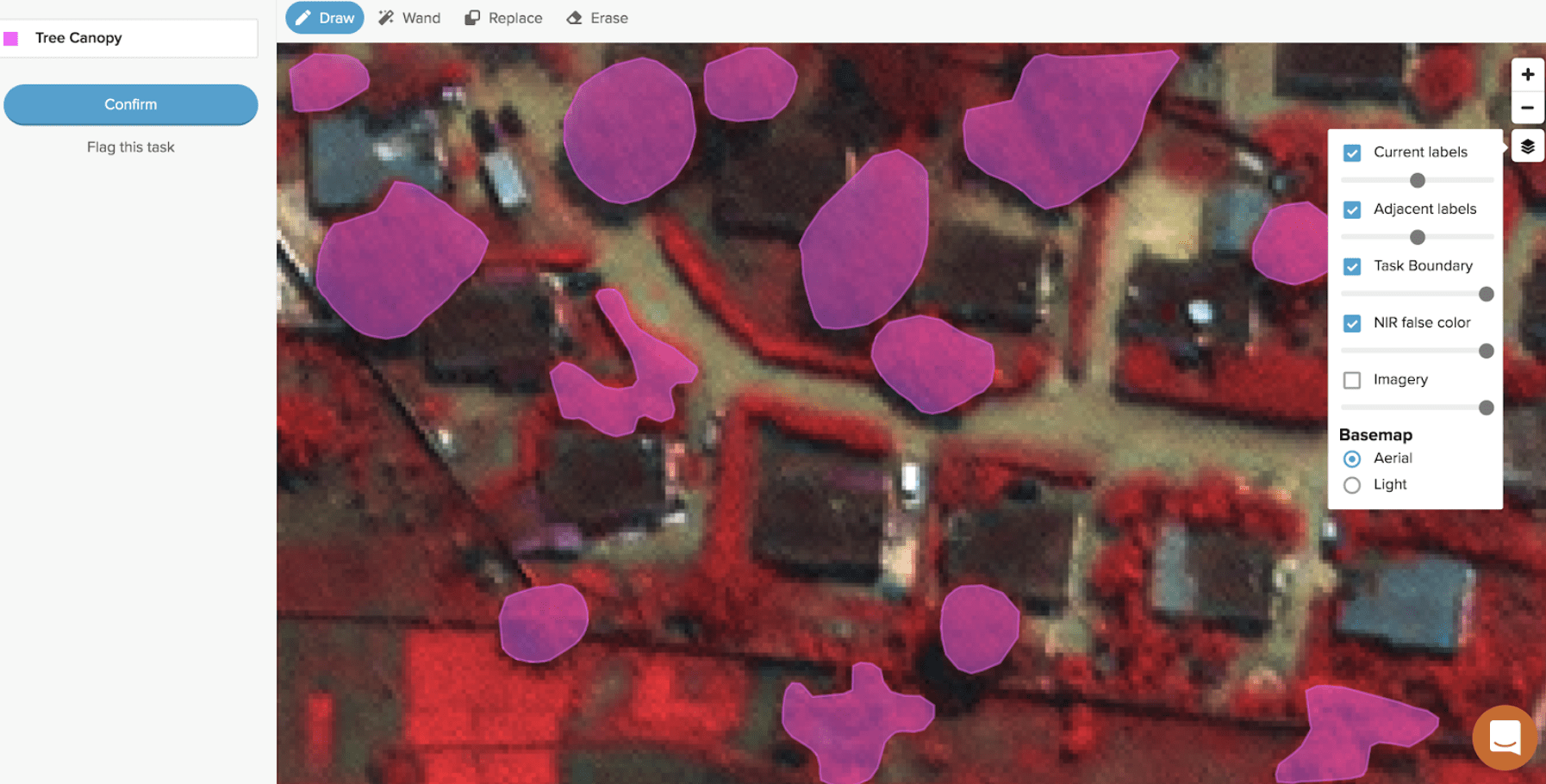
 Digital inventory of urban tree canopies.
As people move from rural to urban areas, expanding cities are pressed to consider new ways of managing labor-intensive public works, such as building and maintaining roads, drains, streetlights, and solid waste-management services. How can local governments manage sprawling infrastructure, when the need to boost resilience to natural hazards and climate change demands collecting and maintaining detailed, up-to-date geographic data about critical infrastructure?
In Digital Works for Urban Resilience: Supporting African Youth, our team reports on ways that cities can use digital technology to maintain public works in more efficient, cost-effective, and gender-inclusive ways. Using digital data could also help to close the digital divide, especially for youth. Funded by the Global Facility for Disaster Reduction and Recovery, the report shows how 7 pilot projects used digital technology to test a new data- and technology-driven workflow to modernize public works.
The pilot projects recruited local workers in different ways—through universities, around neighborhoods, and via social media—all detailed in the report. Together, the pilots hired 1,300 young
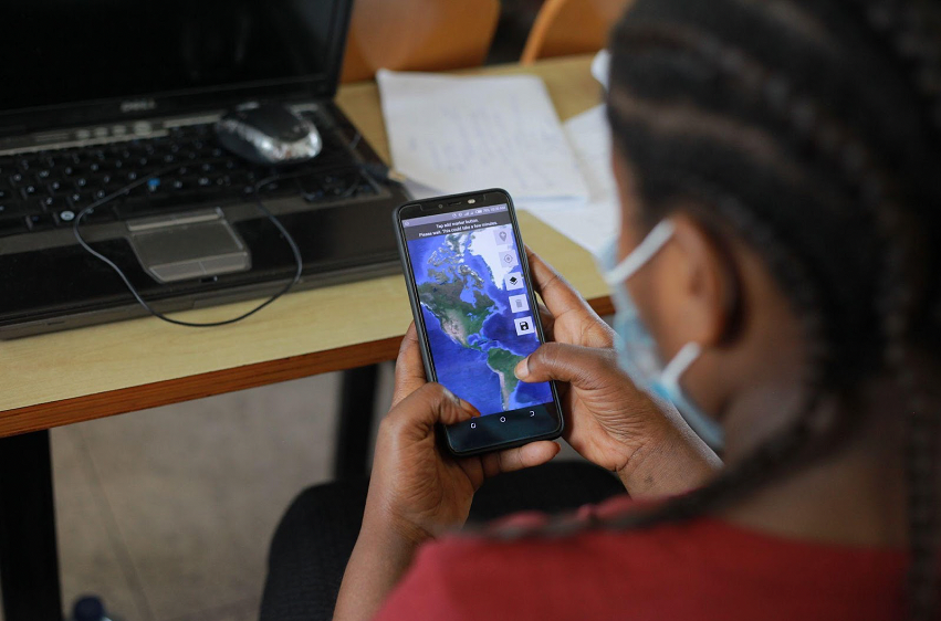
The project team broke down data requests into many smaller tasks or microtasks that we assigned to the young workers. For example, one assignment required a local youth to go into the neighborhood to collect information by taking pictures of bus stops, public toilets, or markets. Others could complete their work from home; they performed tasks like identifying solid-waste piles from drone imagery, or double-checking artificial intelligence algorithms to ensure they had correctly identified local buildings from street-view imagery.
The data informed investments and policy decisions in areas such as public health, to identify COVID-19 hotspots; solid waste management, for improving drainage to prevent flooding; and climate resilient urban development, such as monitoring the growth of tree canopies.
Four principles guided the pilots:
1. Collect high-quality, open, locally relevant datasets.
Most of the datasets generated during these pilots are considered digital public goods for the participating cities and countries: Nairobi, Kenya; Bamako, Mali; Freetown, Sierra Leone; and Dar es Salaam, Tanzania. Where appropriate, the data will be made available to the public. Beyond helping with immediate decision-making, the data—as digital public goods—could also be used in longer-term economic and development initiatives.
2. Create safe, flexible, and remote income opportunities.
Remote digital work is invaluable for situations not suitable for in-person data collection, such as in fragile, conflict- and violence-affected settings, or during pandemic-related lockdowns. When images are of sufficient quality, it’s possible to detect a wide range of objects.
For example, the pilot in Freetown, Sierra Leone focused on identifying trees in urban areas to monitor the changing canopy; while another, in Bamako, Mali, identified places where trash was accumulating to improve the design of solid waste-management services. The remote, asynchronous nature of both work and training allows people, especially women, to participate at times that work around their family schedules or other commitments.
3. Combine short-term income opportunities and learning opportunities.
While most training materials focused on the technical side of the engagement, people also participated in training relevant to their specific data-collection effort—whether the goal was to improve waste collection, to enhance urban resilience, or something else. Training was quite flexible; some pilots offered in-app tutorials, while others provided live webinars and socially distanced in-person training.
4. Find workflows that can scale efficiently.
Microtask workflows are easy and quick to replicate. The pilots enabled the team to validate hundreds of thousands of data points and to collect many hundreds more. These workflows could transform data-collection for urban-planning and maintenance initiatives, such as a comprehensive inventory of transportation-network infrastructure (traffic lights, traffic signage, and the like) or public works infrastructure (manholes, streetlights, fire hydrants, and the like).
Going forward
It is possible to combine inexpensive, commonplace digital tools with local knowledge to collect much-needed geospatial data, while providing short-term employment and skill-building opportunities to vulnerable populations. Engagements can begin with entry-level, low-complexity tasks. As workers develop increased proficiency and experience, they can be promoted to more challenging, better paid opportunities. The 7 pilots show that expanding public works programs to include micro-tasking can also provide flexible income opportunities that tend to attract youth, women, and persons with disabilities.


Join the Conversation