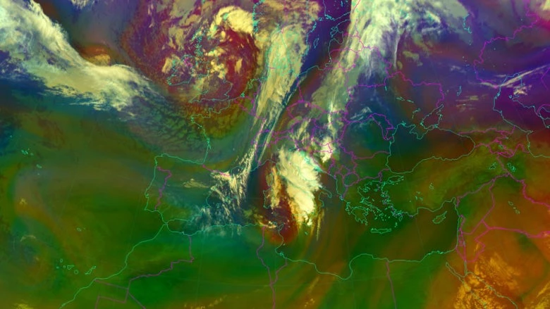
A massive storm system brought historic flooding across South Eastern Europe in 2014, causing more than $2 billion in damages in Bosnia and Herzegovina and shrinking Serbia’s economy by nearly a full percent. Two years later, in August 2016, thunderstorms in the Former Yugoslav Republic (FYR) of Macedonia dropped 93 liters of precipitation per square meter in just a few hours, sparking flash floods in the capital, Skopje, that killed at least 21 people.
In both cases, some of these impacts could have been reduced by improving cross-border monitoring and forecasting while strengthening early warning services at a national level. In FYR Macedonia, for example, even though the storm was being tracked by radar as it moved through neighboring countries, residents in Skopje were given very little time to prepare and there was insufficient local data to anticipate the storm’s potential impact in a timely manner.
Fortunately, governments are now working together to improve information exchanges across boundaries and strengthening regional early warning systems through the South-East European Multi-Hazard Early Warning Advisory System (SEE-MHEWS-A).
Initiated under the auspices of the World Meteorological Organization (WMO), with financial support from the United States Agency for International Development (USAID), this innovative, multi-country program is now being supported by both the World Bank and the Global Facility for Disaster Reduction and Recovery (GFDRR).
Sharing meteorological and, particularly, hydrological data between countries is often sensitive, owing to political tensions, competing economic opportunities associated with water resources and power generation, and legacy data policies. Despite these challenges, however, countries in the region have taken steps to share more real-time monitoring data for forecasting and early warning purposes. One example of this collaboration is the Flood Forecasting and Warning System in the Sava River Basin (Sava FFWS) initiative – designed to build on targeted data sharing between Bosnia and Herzegovina, Croatia, Montenegro, Serbia, and Slovenia financed by the European Union’s Western Balkans Investment Framework (WBIF) and implemented by the World Bank.
Generating weather forecasts involves assimilating data from national monitoring systems, satellites, and regional sources into numerical weather prediction models. Such computer programs simulate the physics of the atmosphere, helping forecasters understand what the weather might be in the next hours, days, and weeks. While extremely useful, running such models requires significant computing resources and technical expertise.
The SEE-MHEWS-A addresses these challenges by making outputs of existing models covering South Eastern Europe available to participating countries, so they do not need to run new models themselves. In addition to being cost efficient, this consolidation of results will also create probabilistic information on potential weather conditions – giving forecasters a better understanding of future weather scenarios and related hydrological events to help improve local forecasts and enhance early warnings systems. Furthermore, because more national observations will be included, these models will perform even better in their local contexts.
Improved regional weather forecasting will help countries anticipate and prepare for intense rainfall, wind, hail, snow and extreme temperatures. The weather prediction models will also provide quantitative precipitation forecasts to better forecast floods. With probabilistic precipitation forecasts from the different weather models, hydrologists will be able to produce probabilistic flood forecasts, improving the quality of early flood warnings.

All of this requires a well-coordinated, technical process driven by a spirit of transparent and open regional collaboration. While WMO is coordinating these effort, several regional European institutions have also indicated their intention to provide support – including the European Center for Medium Range Weather Forecasts (ECMWF), the European Organization for the Exploitation of Meteorological Satellites (EUMETSAT), and European Commission’s Joint Research Centre (JRC). Several national hydrometeorological agencies in the region and beyond have also volunteered to develop and operate aspects of the system.
This collaboration transforms SEE-MHEWS-A into a virtual ‘system of systems’ - with various nodes providing computing and other services and products for the region. This spirit of technical cooperation also maintains respect for sovereignty, with only the countries themselves responsible for providing early warning services to their citizens. That is exactly why the term “advisory” is part the projects name: it does not deliver early warnings, but rather provides enhanced technical information for disaster risk management experts to support decision-making at the national and local levels.
Hopefully, this innovative partnership will not only make the communities of South Eastern Europe safer from extreme weather, but also will provide a solution-oriented model for future collaborative efforts on reducing climate and disaster risk in the region and beyond.


Join the Conversation