When compared to densely populated areas, rural communities are more vulnerable to major health crises, facing personnel and medicine shortages, insufficient hospital bed capacity, and substandard medical equipment.
In many developing countries, these challenges are made more acute by poor road conditions in rural areas that can prevent patients from reaching hospitals and accessing health services. This is particularly true during the rainy season, when flooding is common. During public health emergencies such as the COVID-19 pandemic, such challenges are not merely inconvenient, but can be life-threatening.
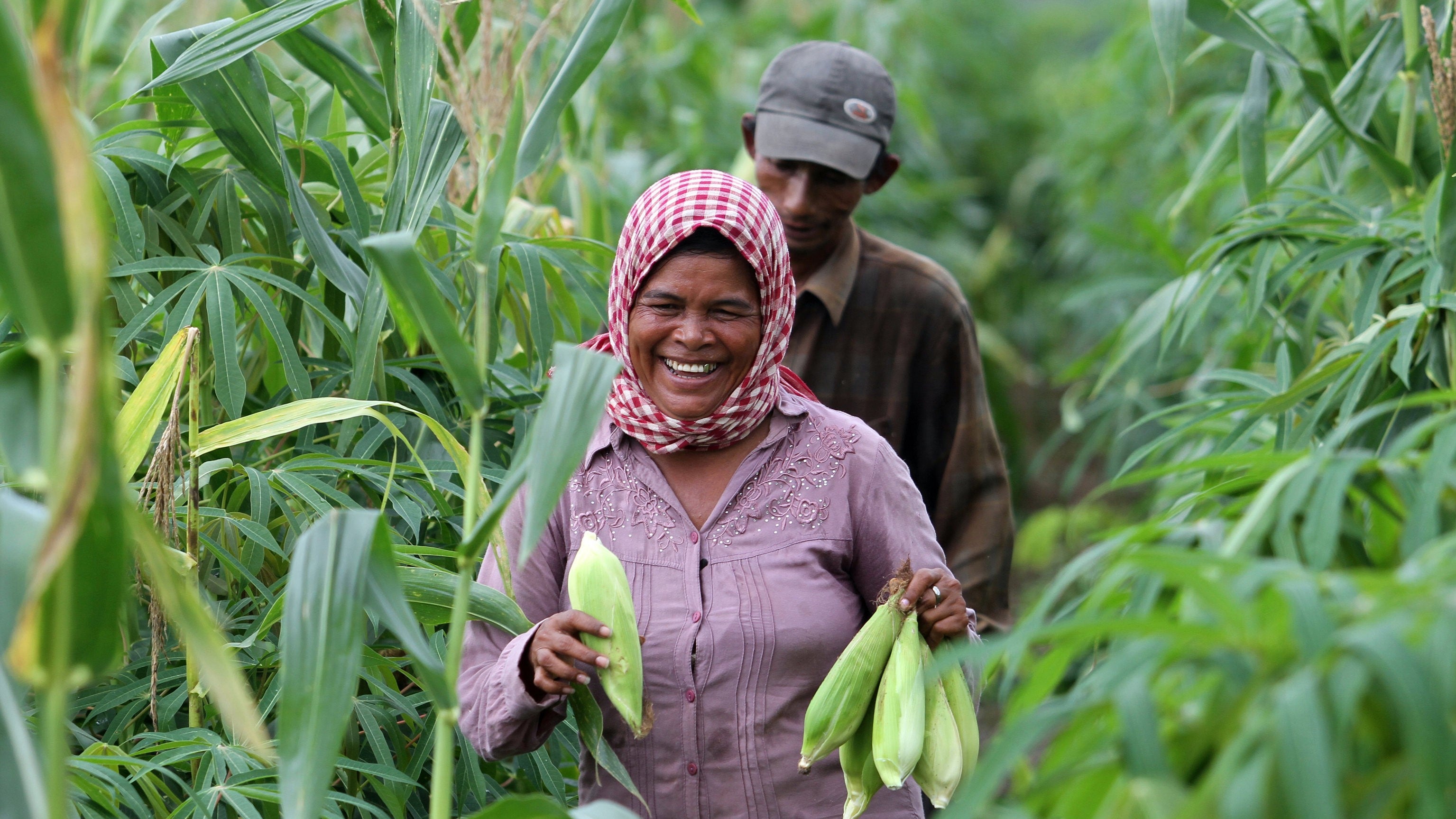
In Cambodia, for example, the rainy season lasts from May to September. In this period, it is much more difficult to transport food, medicine, and other essential items to rural households.
So how do we support improved rural accessibility to hospitals in flood-prone areas?
One solution is geospatial data. With support from the Global Facility for Disaster Reduction and Recovery, the World Bank and Japan Disaster Risk Management Program helped Cambodia’s Ministry of Rural Development prioritize road investments using an innovative geospatial analytics tool to identify areas with high flooding risk and low accessibility to hospital. The initiative is aiming to expand community access to schools, and markets in addition to hospitals.
The tool assesses investment needs based on geospatial analysis, degree of accessibility, and projected flooding costs, among other factors. It harnesses open-source and government data to geo-locate agricultural farms, markets, schools, and health centers, populating flood risk maps.
Using this innovative tool, a recent World Bank study focusing on three Cambodian provinces found an urgent need for investment in resilient rural road accessibility. Evaluating more than 6,000 kilometers of roads and potential investments in 1,500 km of those, it came to a number of conclusions, including:
- 37% of people on those provinces (approximately 800,000 people) need more than 60 minutes to reach an emergency health facility. During floods, 27% would lose all access and 18% will experience an increase of 30 minutes in travel time. This may be critical in treating patients with severe and quickly deteriorating conditions such as in COVID-19. Investment in rural roads would bring large benefits with reduction of people that needs more than 1 hour to reach a referral hospital from 37 to 25%.
- Just over half of the rural population in the project provinces can reach high schools in half an hour. That may be one of the factors limiting human development growth in rural areas. Investment in rural roads will increase this number to 61%.
- Only about 28% of the value of agricultural production can reach a market within an hour, and during floods, 21% of the value of agricultural production effectively loses access to markets. Lack of access to markets limits growth of income among the rural population, including women, who account for over 44% of employment in the agricultural sector and may slow down economic recovery post a crisis. Investment in rural roads will increase that value by 11 points to 39%.

We are looking at ways of scaling up this analysis to cover all provinces of Cambodia. Data-driven analytics help the government make better investment decisions. Not just in Cambodia, but in many developing countries. Here is why:
- It introduces an evidence-based method for new investment prioritization. In the three pilot provinces, this method provided the basis for assessing over 1,500 kilometers of roads (about 20% of the rural road network in three provinces which connect rural areas with districts and national roads). The analysis demonstrated how climate resilience, human capital development, and economic growth priorities can be considered in this process.
- Identifying socio-economic benefits of rural infrastructure investments. The analysis helps capture social benefits as gains in access to human capital development facilities such as hospitals and schools. Capturing the increase in accessibility to markets from agricultural areas, the method identifies a new metric for economic growth that goes beyond traditional methods such as measuring road user costs.
- Supporting policy dialogue on rural development and resilience. The data, maps, and results from this model engage decision makers, allowing them to identify areas with lower accessibility and high climate vulnerability. This information can help national and provincial governments form strategic goals and action plans.
We have big plans for this new tool. We plan to use it to inform national development strategies aimed at closing accessibility gaps in rural areas. This will ensure that even during the rains, and especially in times of major health crises, rural communities have timely access to hospitals. It will also ensure food supplies move relatively smoothly from farm to market; this will allow quick social and economic recovery in rural areas as crises abate. In the long term, access to healthcare, schools, markets, and work opportunities will support human capital development and sustained economic growth in the country.


Join the Conversation