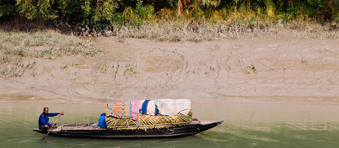
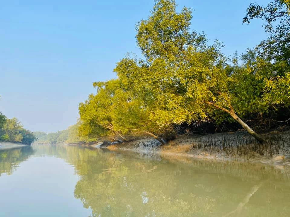
 A Bangladeshi man rowing a boat near a tropical mangrove forest. Photo - PixHound / Shutterstock.com
In May 2020, as India and Bangladesh grappled with COVID-19, Cyclone Amphan hit, killing more than 80 people. Amid the pandemic, the super cyclone battered the region, leaving in its path thousands of uprooted trees and lives, constant power cuts, and millions of dollars in revenue loss.
As the world’s most vulnerable country to tropical cyclones, Bangladesh has seen its share of catastrophic storms. In the past decade or so, Cyclones Sidr (2007), Aila (2009), Roanu (2016), Fani (2019), and Bulbul (2019) triggered devastating storm surges, which are major threats to lives and property in low-lying coastal areas and can spell disaster in densely populated areas during high tide.
Increasingly, mangrove forest protection is seen as a solution to protect coasts. When cyclones strike, mangrove forests act as buffers against storm surges by obstructing the flow of water with their roots, husks, and leaves.
While evidence shows that mangroves help protect millions of people and save billions of dollars in property damage from flooding globally, there was scarce data—until our research came out—to measure the protective capacity of this unique ecosystem in Bangladesh.
Evidence shows that mangroves help protect millions of people and save billions of dollars in property damage from flooding globally.
Assessing the protecting capacity of mangroves
In collaboration with the Institute of Water Modelling in Dhaka, the World Bank simulated models to replicate Cyclone Sidr in seven coastal locations in Bangladesh. The joint team estimated cyclone surge heights and water flow velocity without mangroves and then derived estimates using forest widths and various mangrove species.
The extent of protection that mangroves provide depends on various factors such as the width and density of the mangrove forest, the diameter of the mangrove tree stems and roots, the depth of water bodies, and the tidal stage at which waves enter the forest.
Our estimates indicate varying levels of protection from mangroves using tree species and forest widths and densities across the seven locations. Among the various species analyzed, Keora (the local name for Sonneratia apetala) provided the highest protection, and reduced the rise in seawater levels between 4 and 16.5 centimeters and brought down water inflow speed to a range between 29 percent to 92 percent.
Combining mangroves with built embankments yields benefits
Storm surge heights are between 1.5 to 4 meters in densely-populated and cyclone-prone areas of Bangladesh. As such, mangroves (“green” infrastructure) must be used with built embankments (“gray” infrastructure) to provide optimal protection against storm surges. In that scenario, even the modest reduction in surge levels that mangroves provide can help lower embankment heights and reduce the cost of construction considerably. Also, the significant decrease in water flow speed provided by mangroves reduces infrastructure maintenance costs.
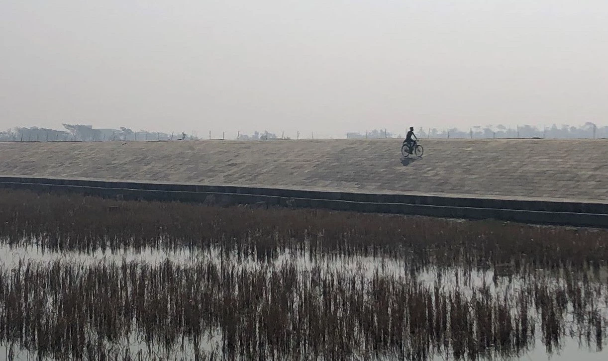
At present, the coastal belt of Bangladesh has 139 “polders” or low-lying tracts of land enclosed by earthen embankments. As their heights need to be reassessed, all polders, whether sea-facing or inland, will benefit from mangroves in the foreshore area – the land along the water’s edge.
Lessons from our research will inform the design of the ongoing World Bank’s Coastal Embankment Improvement Project (CEIP), which will increase the height of 10 selected polders in the southwest coastal region, where cyclone strikes are becoming more frequent.
In other words, integrating “green” and “gray” infrastructure can deliver a potential triple-win for Bangladesh, benefiting the economy, communities, and the environment.
The mangroves research is part of extensive research into the Sundarban wetlands supported by the South Asia Water Initiative, a trust fund administered by the World Bank. More about South Asia’s ecological systems and climate resilience will be available in Coping with Climate Change Vulnerability in the Sundarbans: Lessons from Multidisciplinary Studies, a forthcoming World Bank publication.


Join the Conversation